
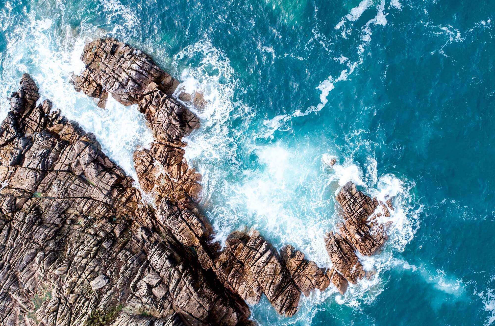
WELCOME TO MARGISLAB
Research with purpose.
The Marine GIS Group — a specialized research unit of the Laboratory of Environmental Quality and Geospatial Applications (LEQAGA), Department of Marine Sciences, University of the Aegean, Greece — advances the understanding of coastal and marine environmental processes through innovative geospatial technologies.

OUR EXPERTISE
The Marine GIS Group operates within the Laboratory of Environmental Quality and Geospatial Applications (LEQAGA) at the Department of Marine Sciences, University of the Aegean, Greece. Our team combines expertise in:
- Geographic Information Systems (GIS) — spatial data modeling, WebGIS platforms, multi-criteria analysis
- Marine Renewable Energy — offshore wind farm siting, geospatial optimization, environmental impact assessment
- Coastal Zone Management — marine spatial planning, decision support systems, stakeholder engagement
- Marine Ecology & Water Quality — eutrophication assessment, nutrient dynamics, pollution monitoring
- Numerical Weather Prediction — regional atmospheric modeling, air-sea interaction studies
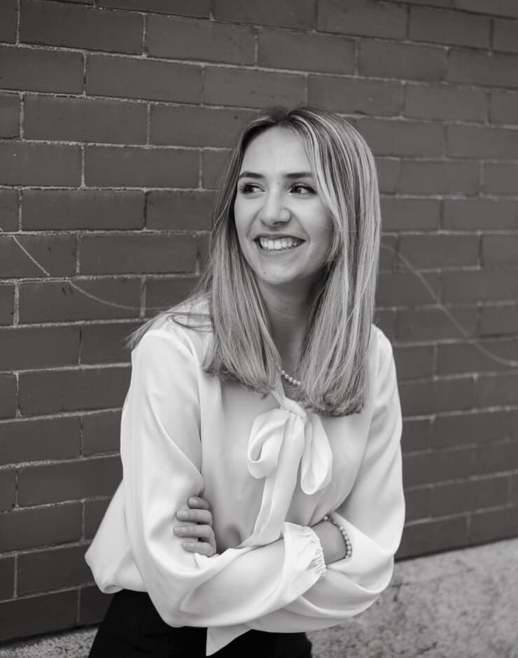
Dr. Dimitra Kitsiou
Associate Professor – Research Group Head
This is some dummy copy. You’re not really supposed to read this dummy copy, it is just a place holder for people who need some type.

Dr. -Eng. Theodoros Nitis
Teaching Assistant – Researcher
This is some dummy copy. You’re not really supposed to read this dummy copy, it is just a place holder for people who need some type.

Dr. Zoi Pataki
Research associate
This is some dummy copy. You’re not really supposed to read this dummy copy, it is just a place holder for people who need some type.

Dr. Anastasia Patera
Research associate
This is some dummy copy. You’re not really supposed to read this dummy copy, it is just a place holder for people who need some type.

Mrs. Marina Banela
Ph.D. Candidate
This is some dummy copy. You’re not really supposed to read this dummy copy, it is just a place holder for people who need some type.

Mr. Christos Kontopoulos
Ph.D. Candidate
This is some dummy copy. You’re not really supposed to read this dummy copy, it is just a place holder for people who need some type.
WHERE ARE WE LOCATED
Our Location
Department of Marine Sciences, University of the Aegean
Mitilini 811 00
Greece
