
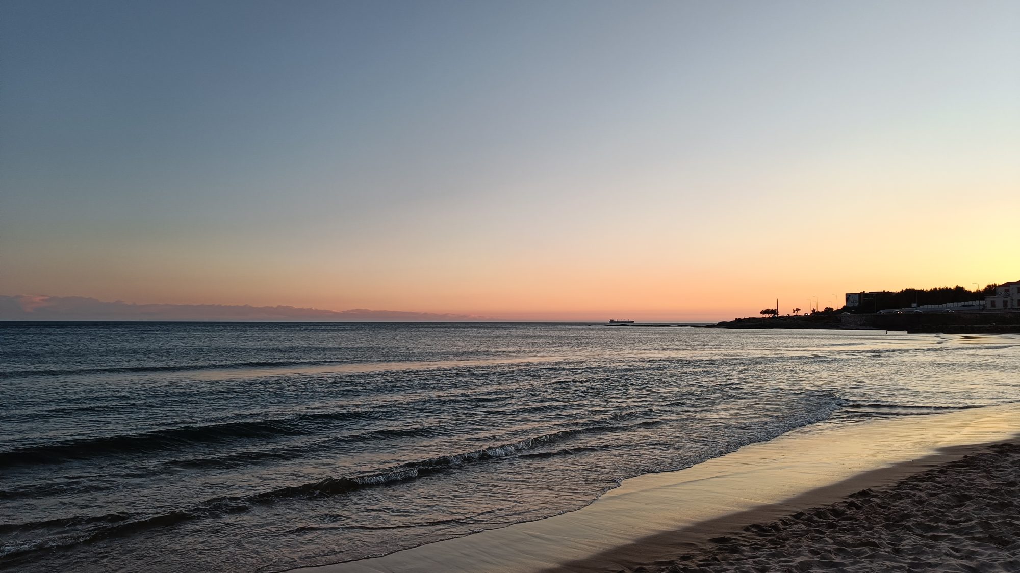
The Marine GIS Group — part of the Laboratory of Environmental Quality and Geospatial Applications (LEQAGA), Department of Marine Sciences, University of the Aegean, Greece — conducts interdisciplinary research at the intersection of geospatial technology and marine environmental science. Our work spans five primary axes — from foundational geo-informatics and marine renewable energy siting to coastal zone management, water quality assessment, and atmospheric modeling — unified by the application of Geographic Information Systems, remote sensing, and spatial analysis to understand and manage the marine environment.
Researchers at LEQAGA collaborate with national and international partners, contribute to EU policy frameworks, and develop practical tools including WebGIS platforms and geospatial databases that translate scientific findings into actionable knowledge for policymakers, coastal managers, and industry stakeholders.
1. Geo-informatics
Researchers at the Marine GIS Group of LEQAGA, University of the Aegean, develop and apply geoinformatics methodologies for the study of the coastal and marine environment. Our work encompasses spatial data infrastructure, WebGIS application development, and the integration of multi-source datasets — including socio-economic, environmental, and satellite data — to support decision-making by public authorities and stakeholders.
Key activities:
- Development of WebGIS platforms for coastal water quality assessment
- Multi-criteria evaluation and ranking of coastal areas using GIS
- Integration of in-situ, remote sensing, and socio-economic datasets
- Spatial analysis frameworks for marine spatial planning
Representative tools:
- WebGIS Application to Assess Seawater Quality (Northern Aegean case study)
- Integrated monitoring systems combining remote sensing and machine learning
2. Marine Renewable Energy and Offshore Wind Siting
The Marine GIS Group at LEQAGA, University of the Aegean, applies geospatial analysis and multi-criteria decision-making to support the sustainable development of marine renewable energy, with particular emphasis on offshore wind farm siting. Our work integrates environmental, social, economic, and technical criteria to optimize the placement of offshore energy infrastructure while minimizing conflicts with existing maritime activities and sensitive ecosystems.
Key activities:
- Geospatial database development for offshore renewable energy assessment
- Multi-criteria analysis and ranking of offshore wind farm sites
- Conflict analysis among maritime activities and offshore energy zones
- Environmental impact assessment for offshore wind development
- Stakeholder engagement and public consultation frameworks
- Knowledge exchange with international partners on offshore wind deployment
Flagship Project — MAPSONS:
MAPSONS (Methodological frAmework for the oPtimization of the Siting of Offshore wiNd farmS) is a collaborative research project led by the Marine GIS Group of LEQAGA, University of the Aegean, in partnership with the Norwegian University of Science and Technology (NTNU). The project assessed and prioritized 10 medium-term offshore renewable energy areas in Greece identified by the Hellenic National Program (HEREMA), covering 978 km2 with a total estimated capacity of 4.9 GW.
The MAPSONS methodology included:
- Comprehensive literature review on offshore wind farm siting criteria
- Development of a dedicated geospatial database integrating diverse data sources
- Conflict analysis among maritime activities in proposed development zones
- Application of multi-criteria analysis to rank offshore wind farm sites
- Stakeholder engagement through questionnaires, workshops, and educational seminars
- Knowledge exchange with Norway’s offshore wind deployment experience
The project concluded in April 2025 with final workshops at both the University of the Aegean (Mytilene) and NTNU (Trondheim), presenting recommendations on offshore wind energy site prioritization in Greece to stakeholders and researchers.
Project outcomes:
- Prioritized ranking of proposed offshore wind development areas
- Geospatial database for Greek offshore renewable energy planning
- Stakeholder engagement framework for coastal communities
- Policy recommendations for Greece’s transition to a low-carbon economy
Foundation for future scientific collaborations and policy initiatives
Collaborating agencies:
- University of the Aegean, Department of Marine Sciences, LEQAGA, Greece
- Norwegian University of Science and Technology (NTNU), Department of Marine Technology
Selected publications:
- Nitis T., Moussiopoulos N. (2021). The Use of Geoinformatics in Coastal Atmospheric Transport Phenomena. Journal of Marine Science and Engineering, 9.
- Tzepkenlis et al. (2022). An Integrated Monitoring System for Coastal and Riparian Areas Based on Remote Sensing and Machine Learning. Journal of Marine Science and Engineering, 10.
3. Marine Spatial Planning
At the Marine GIS Group of LEQAGA, University of the Aegean, we develop methodologies and tools for coastal zone management and marine spatial planning, including WebGIS applications, by co-estimating data from various sources with the objective to support appropriate actions of involved public bodies. Our work addresses the sustainable use of marine resources while minimizing conflicts between competing sectors.
Key activities:
- GIS frameworks for marine spatial planning applications
- Multi-dimensional evaluation and ranking of coastal areas
- Development of decision support systems for coastal management
- Integration of environmental, economic, and social data for planning
Selected publications:
- Kitsiou D. (2017). The GIS framework in marine spatial planning applications. In: Kitsiou D. & Karydis M. (Eds.), Marine Spatial Planning: Methodologies, Environmental Issues and Current Trends. NOVA Science Publishers, NY, pp. 157-174.
- Kitsiou D., Coccossis H., Karydis M. (2002). Multidimensional evaluation and ranking of coastal areas using GIS and multicriteria choice methods. Science of the Total Environment, 284: 1-17.
4. Sea Water Quality
Researchers at the Marine GIS Group of LEQAGA, University of the Aegean, investigate the chemical, biological, and physical quality of coastal marine waters, with emphasis on anthropogenic pressures and their spatial and temporal variability. Our methodologies combine field sampling, statistical analysis, and GIS-based spatial modeling to produce comprehensive water quality assessments.
Key activities:
- GIS methodologies to support seawater quality assessment in coastal areas
- Statistical and spatial analysis of water quality parameters
- Evaluation of bathing water quality and aquaculture site suitability
- Integration of satellite data for large-scale water quality monitoring
Selected publication:
Kitsiou D., Patera A., Kostopoulou M. (2018). A GIS methodology to support sea water quality assessment in coastal areas. Global NEST Journal, 20(1): 122-127.
5. Marine Eutrophication
At LEQAGA, University of the Aegean, the Marine GIS Group addresses marine eutrophication — a priority issue in the European Union with scientific, economic, social, and political implications. Our research focuses on the dynamics of nutrients and phytoplankton ecology, the quantitative and spatio-temporal assessment of eutrophic trends, and the evaluation of impacts on water quality used for swimming, recreational activities, and aquaculture.
Key activities:
- Dynamics of nutrients and phytoplankton ecology in coastal ecosystems
- Quantitative and spatio-temporal assessment of marine eutrophication
- Effects of extreme weather events on coastal water quality
- Evaluation of EU environmental policy and the Marine Strategy Framework Directive
- Categorical mapping of marine eutrophication based on ecological indices
Selected publications:
- Karydis M., Kitsiou D. (2012). Eutrophication and environmental policy in the Mediterranean Sea: a review. Environmental Monitoring and Assessment, 184: 4931-4984.
- Kitsiou D., Karydis M. (2011). Coastal marine eutrophication assessment: A review on data analysis. Environment International, 37: 778-801.
- Kitsiou D., Karydis M. (2000). Categorical mapping of marine eutrophication based on ecological indices. Science of the Total Environment, 255: 113-127.
6. Atmospheric Processes and Air-Sea Interaction
The Marine GIS Group at LEQAGA, University of the Aegean, studies atmospheric processes and air-sea interaction using Regional Numerical Weather Prediction Models and Geoinformatics. Our research examines the complex feedbacks between the atmosphere and the ocean surface, including the development of local wind systems, pollutant dispersion, and the influence of topography on marine boundary layer processes.
Key activities:
- Development of the sea breeze over complex coastal environments
- Effects of basic flow and topography on atmospheric circulation
- Meteorological simulations using satellite data for urban heat island assessment
- Modeling of pollutant emissions and dispersion over complex topography
Selected publications:
- Nitis T., Kitsiou D., Klaic Z.B., Prtenjak M.T., Moussiopoulos N. (2005). The effects of basic flow and topography on the development of the sea breeze over a complex coastal environment. Quarterly Journal of the Royal Meteorological Society, 131: 305-327.
- Nitis T., Klaic Z.B., Kitsiou D., Moussiopoulos N. (2010). Meteorological simulations with use of satellite data for assessing urban heat island under summertime anticyclonic conditions. International Journal of Environment and Pollution, 40: 123-135.
- Nitis T., Tsegas G., Moussiopoulos N., Gounaridis D. (2021). Modeling of Pollutant Emissions from a Diesel Power Station and Dispersion Over Extremely Complex Topography. In: Air Pollution Modeling and its Application XXVII. Springer, pp. 207-213.
7. Climate Change using Regional Numerical Weather Prediction
Researchers at the Marine GIS Group of LEQAGA, University of the Aegean, apply Regional Numerical Weather Prediction (NWP) Models to assess climate change impacts on coastal and marine environments. Our work connects large-scale climate patterns to local-scale effects, supporting adaptation strategies for coastal communities and marine ecosystems in the Mediterranean.
Key activities:
- Downscaling of global climate models to regional scales
- Assessment of climate change impacts on coastal atmospheric processes
- Air-sea interaction studies under changing climate scenarios
- Support for climate adaptation policy in coastal zone management
Selected publications:
- Nitis T., Moussiopoulos N. (2021). The Use of Geoinformatics in Coastal Atmospheric Transport Phenomena: The Athens Experiment. Journal of Marine Science and Engineering, 9.
- Kitsiou D., Patera A., Tsegas G., Nitis T. (2021). A webGIS Application to Assess Seawater Quality: A Case Study in a Coastal Area in the Northern Aegean Sea. Journal of Marine Science and Engineering, 9.
- Tzepkenlis A., Grammalidis N., Kontopoulos C., Charalampopoulou V., Kitsiou D., Pataki Z., et al. (2022). An Integrated Monitoring System for Coastal and Riparian Areas Based on Remote Sensing and Machine Learning. Journal of Marine Science and Engineering, 10.